
The mapping of Cyprus
- Sep 25, 2015
- 1 min read
Public Lecture at British Library, 96 Euston Road, London NW1 2DB
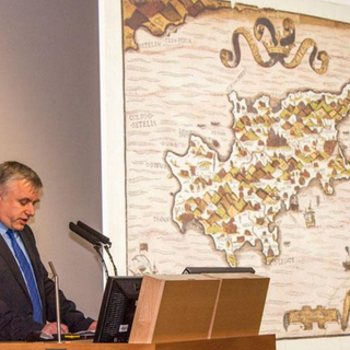
Ashley Baynton-Williams, a fourth generation map dealer, researcher and author will outline (and illustrate) the evolution of the mapping of Cyprus from late medieval times to the first years of the British period, describing the landmarks, the people and the events that shaped the mapping of the island over four centuries. Part of the research material presented has been funded by the Sylvia Ioannou Foundation.
Organised in collaboration with The British Library European and American Collections under the auspices of the High Commissioner for the Republic of Cyprus, Euripides L. Evriviades.
Photographs by Anastasios Anastasi


Comments